Precision in Property Boundaries, Confidence in Land Ownership
Cadastral Survey
Our Cadastral Survey services are designed to provide you with the utmost clarity and precision when it comes to defining and understanding property boundaries. A cadastral survey is an essential tool in ensuring accurate land information, promoting responsible land management, and establishing a secure foundation for property ownership.
Precision in Property Boundaries, Confidence in Land Ownership
What is a Cadastral Survey?
A cadastral survey involves the precise measurement and mapping of land parcels, defining their boundaries, dimensions, and other pertinent details. Our team of experienced surveyors employs advanced technologies and methodologies to conduct cadastral surveys with the highest level of accuracy. Additionally, we specialize in strata title surveys, which detail the division of buildings and land into separate ownership units. These surveys are essential for the legal subdivision of property and play a critical role in property development and management.
The Process
Initial Consultation: We begin by understanding your specific requirements and the purpose of the survey.
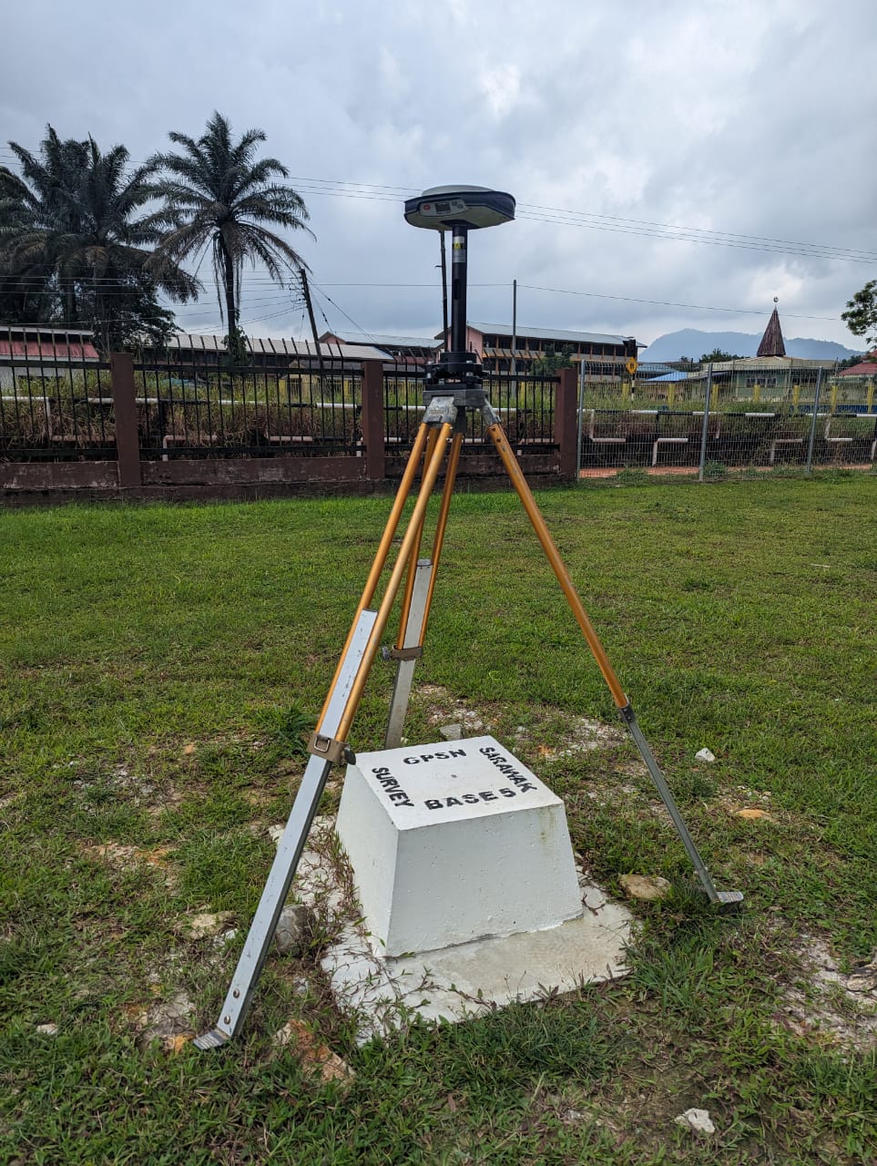
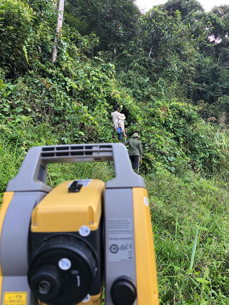
Field Survey: Our skilled surveyors conduct on-site measurements using state-of-the-art equipment to gather accurate data.
Data Analysis and Mapping: The collected data is meticulously analyzed and translated into detailed maps and reports.
Documentation and Submission: We provide you with comprehensive documentation, ensuring all necessary reports and maps are prepared for legal and regulatory compliance.